


San Diego Backcountry Trail Map
This app brings the San Diego Backcountry
Trail Map from Tom Harrison Maps to the
iPhone and iPod touch. This map covers
Anza-Borrego Desert State Park, Cuyamaca
Rancho State Park, McCain Valley Resource
Conservation Area, Ocotillo Wells State
Vehicular Recreation Area, Fish Creek
Mountains Wilderness, Coyote Mountains
Wilderness, and part of Cleveland National
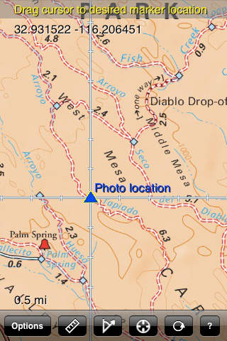
Forest.The map shows trails, backcountry
roads, highways, towns, water features,
peaks, canyons, campgrounds, ranger
stations, and more. This map is perfect
for day hikes, backpacking, wildflower
viewing, mountain biking, OHV travel, and
just about any other way youd want to
explore this area.
Navigate the map using standard touch
gestures to zoom and drag. Mark your
location, measure distances, orient
yourself by taking bearings to landmarks,
and use your iPhones GPS to find your
location on the map. Add your own markers
to the map, and export them via email for
display in Google Earth or other
applications. Map data is included in the application, so you dont need an internet connection to use it.